Creating an Atlas for Conservation Action
Five key recommendations for the Biden administration’s American Conservation and Stewardship Atlas.
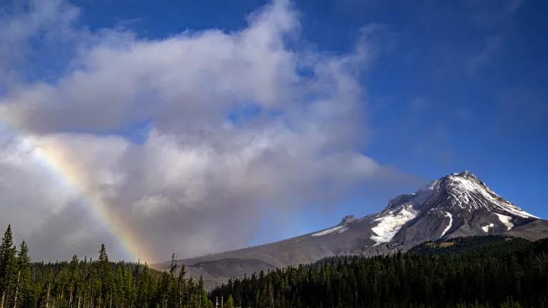
Mount Hood National Forest
We must act now. This is the overarching message of the Intergovernmental Panel on Climate Change’s (IPCC) stark climate report, a report the U.N. Secretary-General called “an atlas of human suffering and a damning indictment of failed climate leadership.” As a key part of turning the tide, we must protect and restore at least 30 percent of land, inland water, and ocean areas by 2030 (often called “30-by-30” or 30x30)—and the sooner the better—to pass a livable planet on to future generations.
The American Conservation and Stewardship Atlas is a main component of the U.S. commitment to 30x30 and the America the Beautiful campaign, a landmark initiative focused on action to defend against climate change, reduce biodiversity loss, and increase equitable access to nature. The Atlas will measure and track progress toward the campaign’s goals; a beta version of this conservation tracking mechanism is expected at the end of 2022.
To deliver on America the Beautiful’s promise, the Atlas should:
1. Separately track progress towards America the Beautiful’s biodiversity, climate, and access to nature goals.
Making significant progress on each of the initiative’s goals is extremely important and while these goals are interrelated, they may require different solutions and tracking. Monitoring gains towards each goal separately will help ensure that each goal receives the attention it deserves.
2. Identify the strong, durable actions needed to reach the 30x30 target.
The 30x30 goal must be met with the bold, significant, and enduring conservation actions called for by the global scientific community to mitigate the biodiversity and climate crises. For example, in the ocean, science shows that fully and highly protected marine protected areas (MPAs) are far more effective than other methods at conserving biodiversity, protecting ecosystem structure and function, and enhancing ecosystem resilience. We need to create more of these strongly protected areas across a broad array of ocean habitats to successfully reach our 30x30 goal. On land, it’s equally important that meaningful protections exist in perpetuity—either through public land designations that provide this (e.g., national monuments, wilderness, and national conservation areas) or by permanent conservation easements on private lands.
Not all conservation actions, while they may bring environmental benefits, contribute to the 30x30 target. It is critically important to determine the subset of conservation measures that do contribute to 30x30. Failing to reach the 30x30 goal has deep ramifications for our clean water, clean air, and healthy forests, farms, and ocean that people depend on for life as we know it.
3. Adopt science-based criteria to track progress toward biodiversity and climate goals.
The Atlas must set criteria that align with science-based and international standards.
In the ocean:
The Atlas should use the MPA Guide to evaluate the level of protections provided by areas in the MPA Inventory. Not all marine protected areas are equally designated and protected, and therefore vary greatly in the kind and degree of benefits they provide. It’s important to ensure that the ocean measures counting toward 30x30 are truly providing biodiversity benefits—and aren’t just paper parks.
Some areas provide strong, durable biodiversity protections even though they were not established as protected areas. These “other effective area-based conservation measures” or OECMs should be evaluated on a case-by-case basis with the International Union for Conservation of Nature (IUCN) and Convention on Biological Diversity (CBD) definition and criteria, and include long-term monitoring with periodic reviews to assess their continued effectiveness.
Land and inland water areas:
Places listed under biodiversity codes GAP 1 and 2 should be considered for the Atlas: these codes include permanently protected lands in a natural condition, where extractive uses are limited or prohibited, like national monuments and wildlife refuges. The administration should work with Tribal nations and Indigenous communities to review whether and how lands they manage for conservation purposes, and that aren’t currently classified by the GAP system, should be included. The Atlas should also incorporate conservation measures on private lands that meet the same strong public land standards, even if the mechanisms for protection are different.
The health of freshwater ecosystems should be reviewed separately from that of land systems. Integrating freshwater planning can double conservation outcomes for aquatic species, and freshwater threats are often distinct from land threats.
The administration should create a diverse and representative Atlas advisory board to ensure consistency between and within federal agencies in applying the standards, and there should be an interagency process to regularly review the impact of any area management and regulation changes on our conservation baseline. All information used to identify areas should be publicly accessible.
4. Adopt criteria to track progress toward the access to nature goal.
The administration should prioritize creation of conserved areas within and adjacent to underserved communities, especially those that are systemically deprived of access to nature and its many values. The history of racial discrimination in the U.S. has created substantial disparities in access to nature for communities of color and economically disadvantage communities; the Atlas should incorporate a mechanism by which to track progress toward addressing this injustice.
5. Provide the information the public needs to act.
The Atlas must be regularly updated and empower stakeholders to advocate for greater protections. It should provide the public with access to spatial data and show data layers that highlight gaps and weaknesses in how land is protected (e.g., are protected areas well connected so that animals can migrate freely?).
The Atlas can become the go-to interactive and trusted website to evaluate conservation efforts in America, but only if the database sets clear criteria to reach each of the initiative’s goals and assesses progress toward these regularly. The Atlas should allow users to easily identify areas needing greater protections.
Fundamentally, the Atlas must provide a tracking measure for 30x30 goals—we must grow the amount of U.S. area protected to ensure a healthy future for all.
Related Blogs

The EPA Doubles Down on Science Denial to Undo Climate Protections

From Shadows to Light: Spotlighting Major Companies in the U.S. Liquefied Natural Gas Industry