A Proactive Planning Tool for Renewable Energy Development
A Partnership Between NRDC and the US Department of Defense
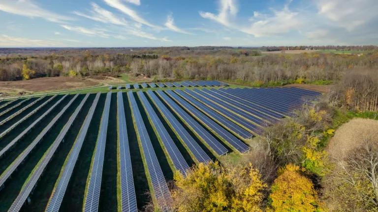
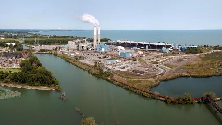
The United States must move away from costly dirty sources of energy and toward developing renewable energy projects from the wind and sun that will power America into the clean energy future. But these projects must be located in places that avoid sensitive wildlife areas and other vital natural resources, and where they do not pose a conflict with DoD assets and activities, particularly in the West, where renewable energy development opportunity is abundant. The military test, training, and operational mission of the Department of Defense has a geographically extensive presence and involves rapidly changing military technology and research and development that may be impacted by renewable energy projects.
Working with U.S. Department of Defense (DoD), NRDC developed a first-of-its-kind mapping and analytic tool called the Renewable Energy And Defense Geospatial Database, or READ-Database. This tool provides Geographic Information Systems (GIS) data and is available online to help renewable energy developers identify appropriate sites for renewable projects such as utility-scale wind, solar, and geothermal energy facilities, that are unlikely to interfere with military activities and training, and have the fewest environmental conflicts.
To access the database, please submit a request here.
Using the Renewable Energy and Defense Geospatial Database (READ-Database)
There are three data layers within the READ-Database that can help renewable energy developers determine the compatibility of a proposed renewable energy project with the DoD mission: Military Ranges and Installations, Military Training Routes and Special Use Airspace, and Radar Sites.
Military Installations, Ranges, and Training Areas
On June 1, 2010, the DoD released Version 1.0 of the GIS dataset: "Military Installations, Ranges, and Training Areas (point locations and boundaries)." This data contains the authoritative point locations and available boundaries of 480 DoD sites. NRDC’s READ-Database incorporates this data, and adds to it additional DoD installations found in the National Atlas, compiled by the U.S. Census Bureau and listed in DoD Base Realignment and Closure (BRAC) documents.
Military Training Routes and Special Use Airspace
Military Use Airspace (MUA) is airspace designated for military testing and training activities, including specialized flight test patterns and routes, "dogfighting" and other abrupt flight maneuvers. The military Services test and train in a wide range of airborne tactics, one of which is low-level combat maneuvers. The Military Training Route (MTR) program is a joint venture by the Federal Aviation Administration and the DoD to develop routes for the purpose of conducting low-altitude, high-speed testing and training activities. There are three types of MTRs in the READ-Database:
- Instrument Military Training Route (IR): Operations on IR routes are conducted in accordance with Instrument Flight Rules (IFRs) regardless of weather conditions.
- Visual Military Training Route (VR): Operations on VR routes are conducted in accordance with Visual Flight Rules (VFRs).
- Slow Speed Low Altitude Training Route (SR): About 200 SRs in the United States are used for military air operations at or below 1500 feet above ground level and at air speeds of 250 knots or less. SRs are flown both day and night, but only under VFR conditions.
In addition, the READ-Database incorporates airspace owner contact information and other route data from the most current DoD Flight Information Publication Area Planning (commonly referred to as AP/1B), when possible.
Special use airspace (SUA) is airspace designated only for specific purposes, frequently military operations. Types of SUA include Alert Areas, Prohibited Areas, Restricted Areas and Warning Areas. Alert Areas may contain a high volume of test and training activities or an unusual type of aerial activity that could present a hazard to other aircraft. In Prohibited Areas, over-flight of a surface area is prohibited in the interest of national security or environmental protection without permission by the using agency. Restricted Areas are established where ongoing or intermittent activities create unusual and often invisible hazards to aircraft, such as artillery firing, aerial gunnery, practice bomb dropping, and guided missile testing. Finally, Warning Areas contain the same kind of hazardous flight activity as restricted areas and MOA’s, but are located offshore over domestic and international waters. All Special Use Airspace is important to consider when developing renewable energy projects on the ground.
Radar Sites
Radar sites within the READ-Database consist of NEXRAD and Terminal Doppler weather radar stations, Airport Surveillance Radar installations, and Air Route Surveillance Radar installations that have been identified in open publications by DoD, the FAA, NOAA or DoD contractors. In addition, Line-of-Sight (LOS) calculations are included in the READ-Database for these radars, assuming either a 100-meter or 250-meter wind turbine blade tip height.
Conservation Areas
In addition to DoD data layers, the READ-Database contains conservation data layers relevant to renewable energy siting for the U.S. western states, including: National Parks, Congressionally-designated wilderness, elements of the National Landscape Conservation System (NCLS), U.S. Forest Service Inventoried Roadless Areas, Bureau of Land Management (BLM) Wilderness Study Areas and Areas of Critical Environmental Concern, and U.S. Fish and Wildlife Service Refuges.
Disclaimer from the US Department of Defense
The defense-related information used by NRDC to develop this on-line tool was compiled from open sources and from unclassified geospatial data provided by the Department of Defense. This information may not be current and does not necessarily reflect the official policy of the Department of Defense or the U.S. Government, and should be used for preliminary planning purposes only. If use of this tool indicates an intersection of your planned project and a DoD equity, you should contact the DoD Siting Clearinghouse at osd.dod-siting-clearinghouse@mail.mil. Indeed, DoD encourages all renewable energy developers to contact the DoD Siting Clearinghouse as early as possible in the siting process. Details about the DoD Siting Clearinghouse, including how to follow the early consultation process outlined in 32 CFR Part 211 can be found at http://www.acq.osd.mil/dodsc/.
Please Note: Some GIS data in this version of the READ database pertaining to radars and military flight routes is not current. NRDC is now partnering with the U.S. Department of Defense to produce an update to the READ database. However NRDC believes that sufficient fidelity exists in the READ database so that it has continued value as a GIS resource for renewable energy siting analysis. If you request access to the current version of the READ database, you can check a box in the online form to be notified when the update to the READ database is ready to download. Thank you.


